Peristerona Watershed (Cyprus)
The Peristerona Watershed is a rural and forested watershed along the northern slopes of the Troodos Mountains. The watershed covers an area of 112 km2. The Peristerona River has two main branches. The eastern one originates from Papoutsa Mountain (1554 m asl) above Palaichori community and merges with the streams coming from the communities of Askas and Fterikoudi. The western branch of the river originates from the mountains above the rural communities of Polystypos and Alona, with the highest elevation around 1400 m asl. The two river branches merge just before Panagia Bridge streamflow station at 430 m asl. The streamflow is monitored by the Cyprus Water Development Department. The river flows north from the foothills at Panagia Bride to the Western Mesaoria Plain and recharges the alluvial river aquifer and the southwestern Mesaoria aquifer system. Seven gabion check dams have been constructed across the river to recharge the groundwater of the alluvial river aquifer in the downstream area of the watershed. The streamflow from the 78 km2 mountainous upstream area above Panagia Bridge provide the main water resources for irrigation downstream. The main land uses in the watershed are sclerophyllous vegetation and pine forest, whereas agriculture is practiced on dry-stone mountain terraces around the eight small rural communities in the upstream areas. In the downstream area both rainfed and irrigated agriculture are found around the communities of Kato Moni, Orounda and Peristerona.
Three forests, located within or near Peristerona Watershed, representative of the northern Troodos Mountain slopes and plain are monitored:
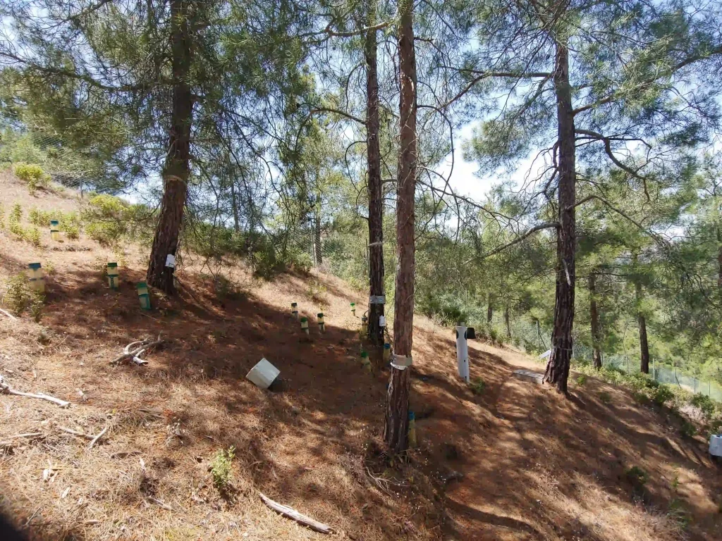
- Platania forest : this experimental site is representative of the higher mountain area.;
- Agia Marina forest: this experimental site is representative of the mountain hillslopes;
- Athalassa forest: This experimental site is representative of the plain. It was planted in 2011, previously it was cultivated.
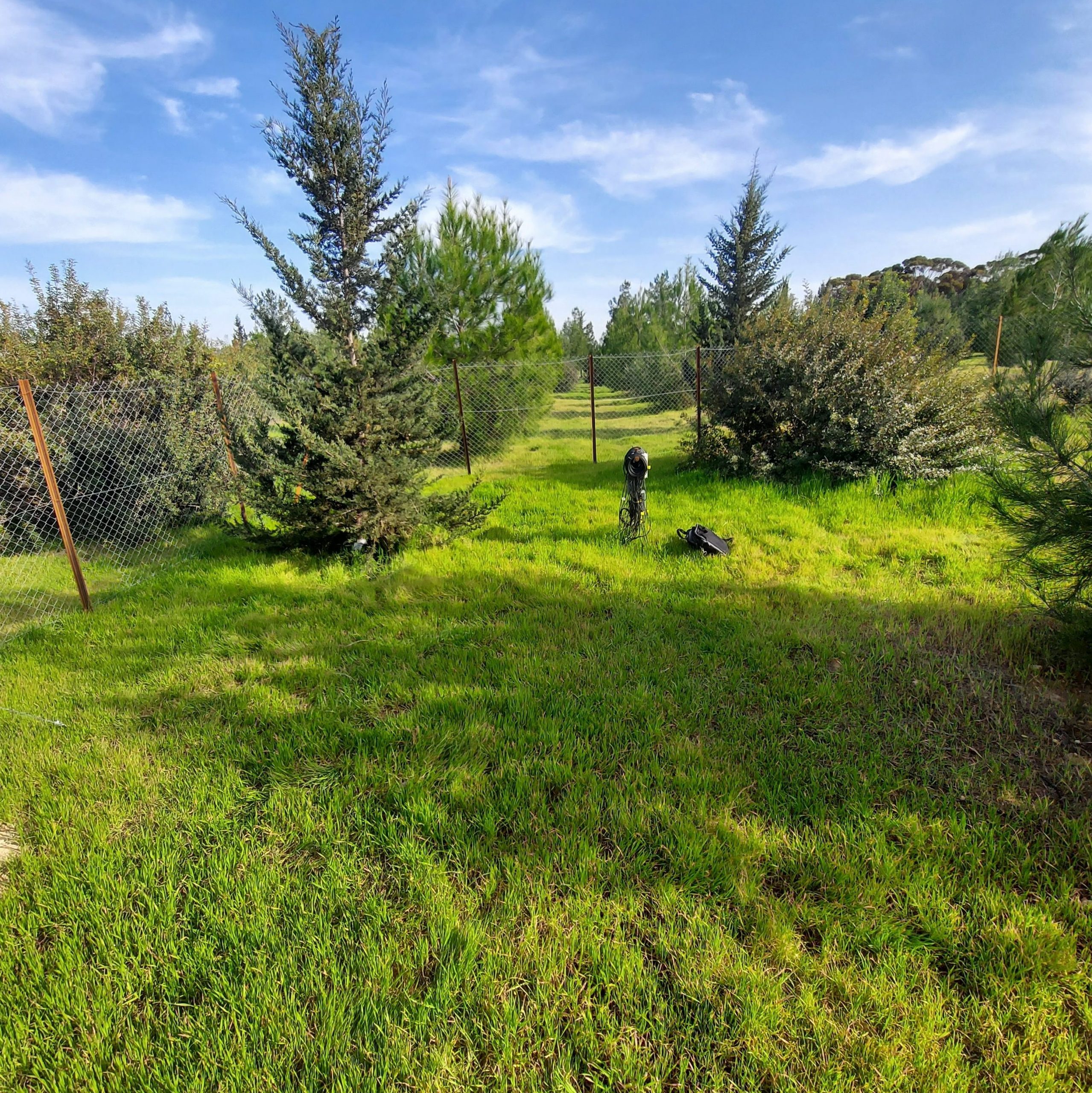
research site in the Mesaoria Plain Cyprus
| Platania forest | Agia Marina forest | Athalassa | |
| Average annual rainfall | 840 mm | 425 mm | 320 mm |
| Elevation | 1100 m asl | 620 m asl | 150 m asl |
| Average slope | – | 25% | 4% |
| Soil depth | 1 m (sandy loam) | 14 cm (loam) | 1 m (sandy loam) |
| Bedrock | Gabro | Diabase | Sedimentary – Nicosia formation (siltstones and layers of calcarenites and marls) and Athalassa formation (calcarenites interlayered with sandy marls). |
| Species | Pinus brutia, Arbutus andrachne, Quercus alnifolia | Pinus brutia (200 trees/ha) | Pinus brutia, Cupressus sempervirens, Pistacia lentiscus, Pistacia atlantica, Olea europaea, Ceratonia silique, Quercus |
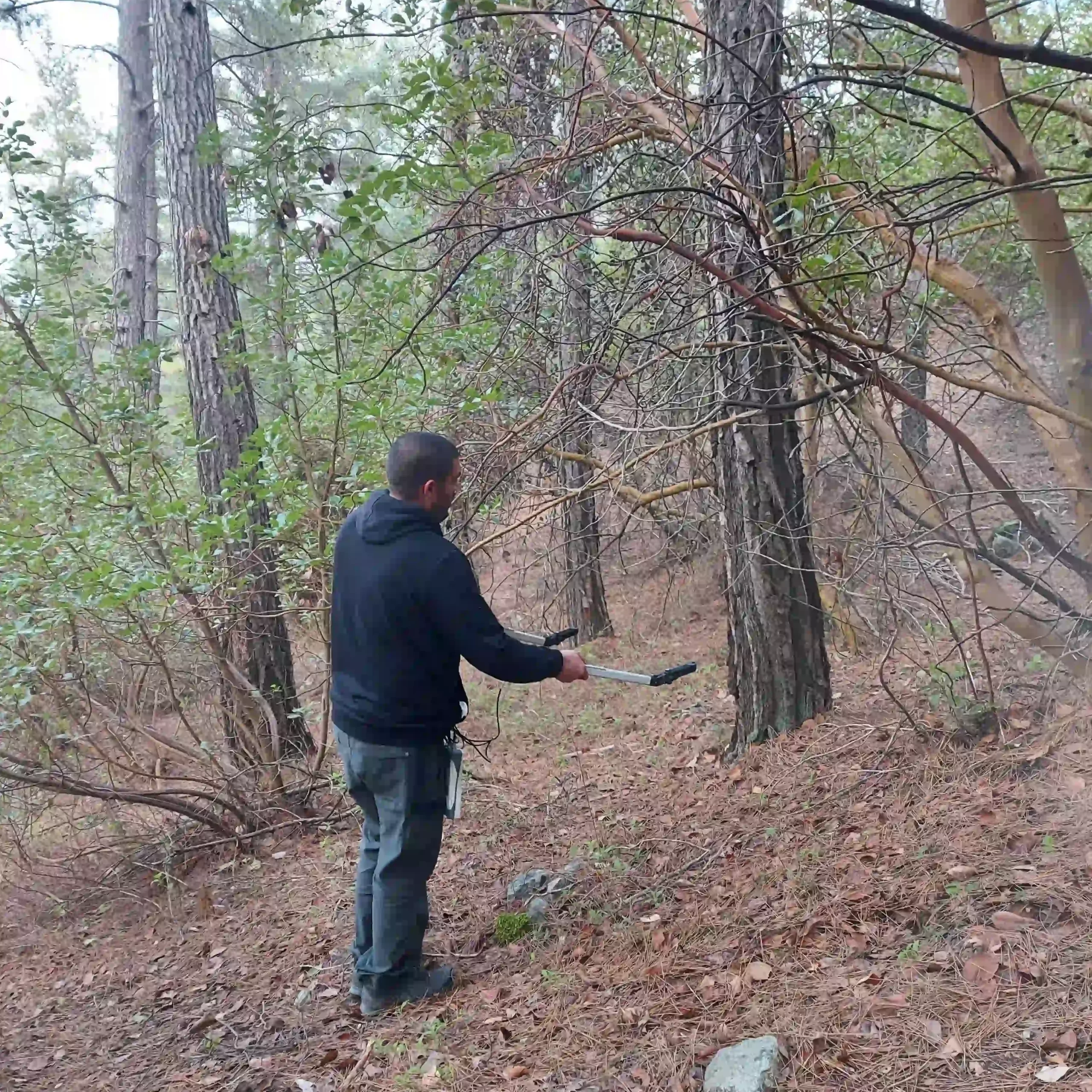
| Monitoring Activity | – Soil moisture: 12 sensors – Soil water potential; – LAI; – Sapflow | sapflow: 3 trees | – Meteorological station: P, T, RH, Rad, WS WD; – Sapflow (HRM): 12 sensors (Pinus b, Cupressum s.) ; – Soil moisture: 90 sensors (10-, 30-, 50- cm depth) ; – Tree growth: 12 dendrometers; – Stem water potential, stomatal conductance: 36 trees; – Seasonal understory biomass; LAI |