Sodga and Dkhila irrigation districts (Tunisia)
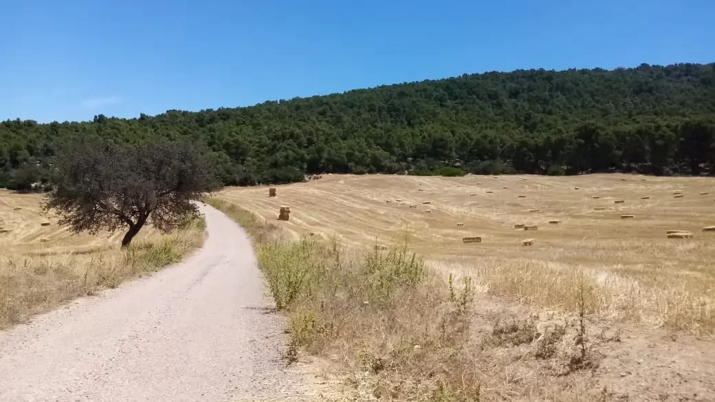
Sodga and Dkhila Public irrigation districts are located in Bargou Mountain under Mediterranean climate with hot and dry summers. This region is 120 km far from Tunis Capital. Environmental risks are mainly floods, erosion and hails. Climate change risk is elevation of minimum and maximum temperature as well as reduction of rainfall. Natural forest occupation, mostly Aleppo pine and carob trees, together with cereal and arboriculture crops (mainly olives, apple and cherries) represents the land cover.
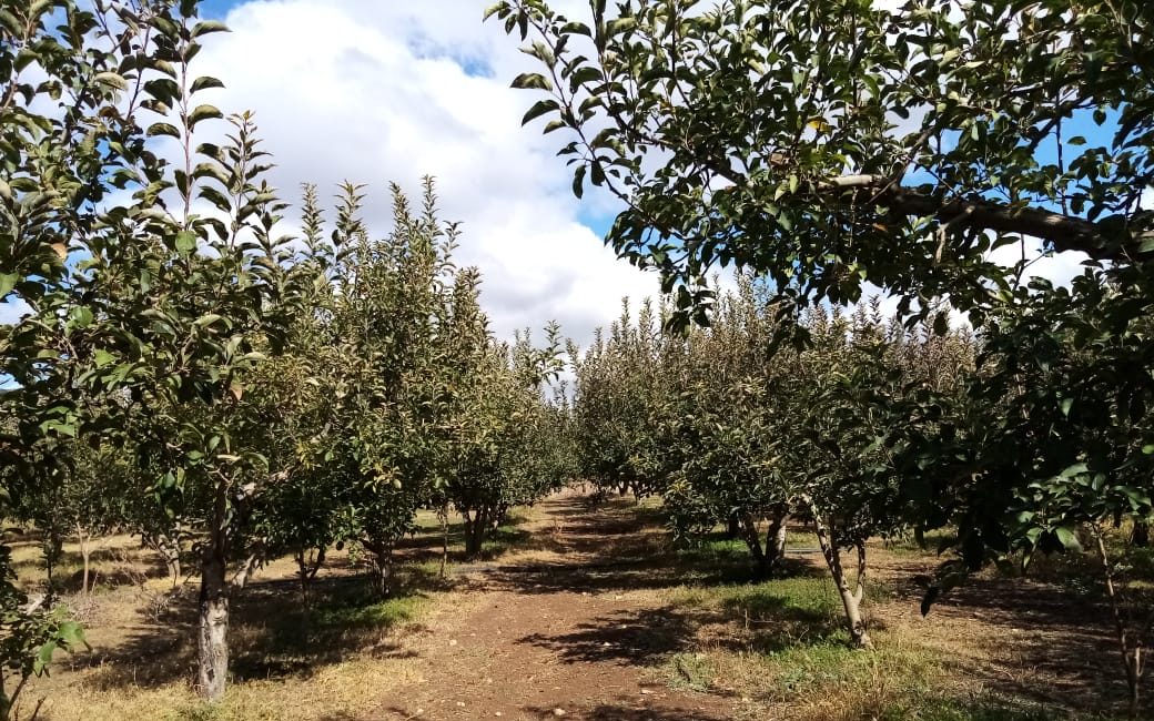
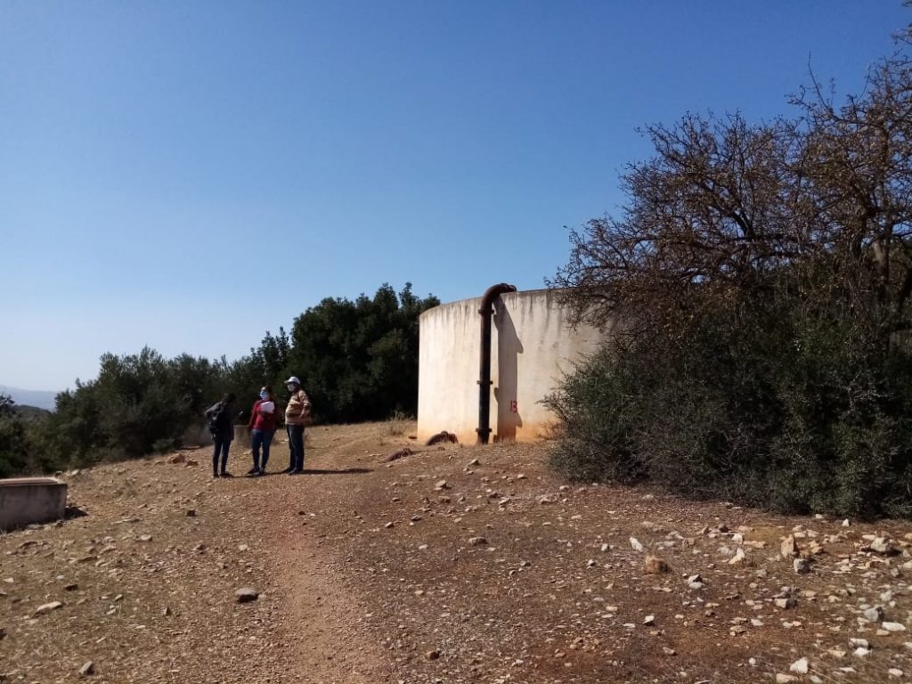
Sodga Public irrigation district was implemented by local authority in 1984. It covers 120 hectares subdivided into 46 orchards belonging to 54 farmers. Public district means that local authority provides irrigation infrastructure as well as pumping infrastructure and farmers provide land and intrants and pay for irrigation water access. In the project we study a representative subpart of 25 ha. In Sodga area several farmers put hail protection.
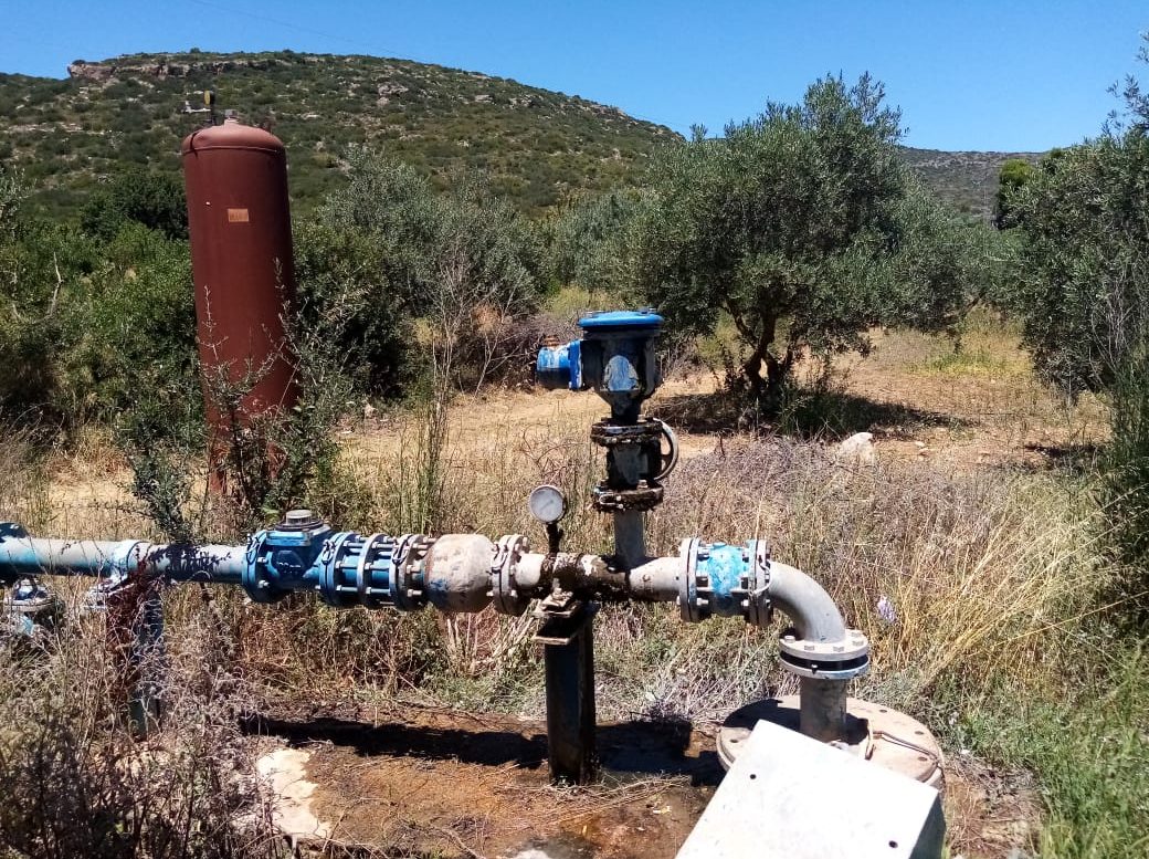
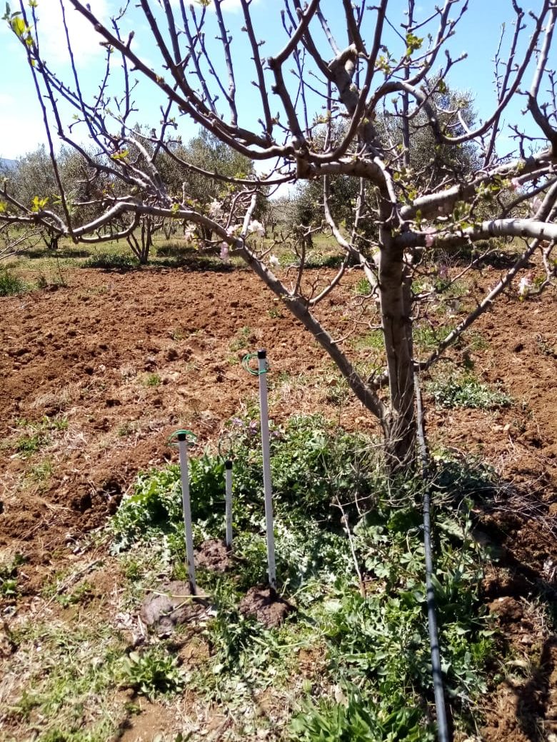
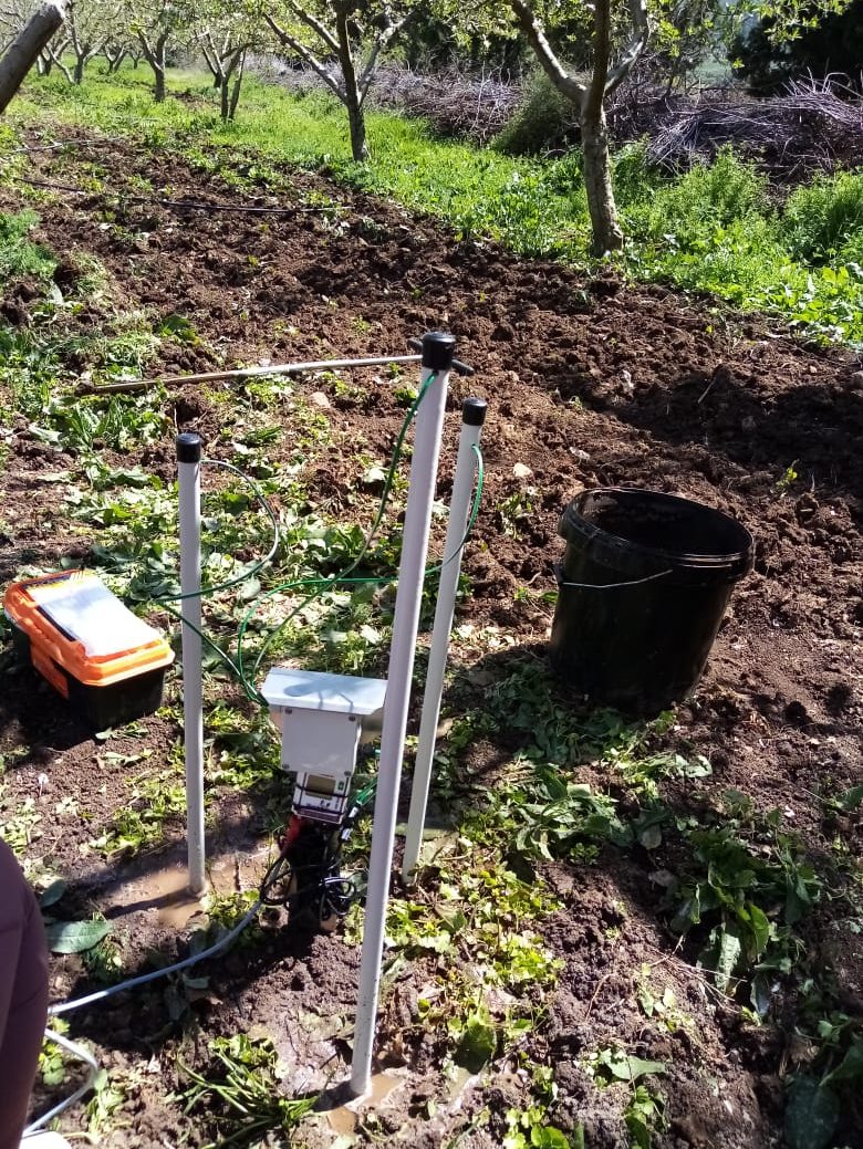
Dkhila district covers 50.5 ha belonging to 32 farmers. Both districts use turn drip irrigation using groundwater resources. There is a meteorological station measuring air temperature, solar radiation, and air humidity in Dkhila district. Also, we installed 12 tensiometers (Watermark) to monitor soil water pressure under 4 apple trees at 20, 40 and 60 cm depth. One single tree is monitored automatically at the three depths. Water use volumes are monitored by orchard by local NGOs representing farmers. Local water authority monitors groundwater table using piezometers.